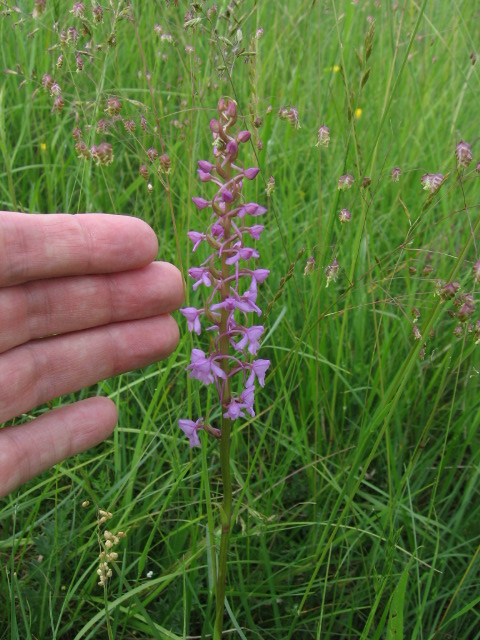
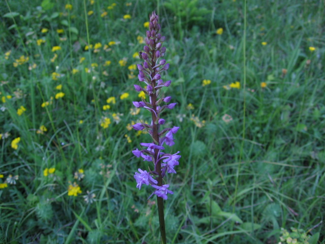
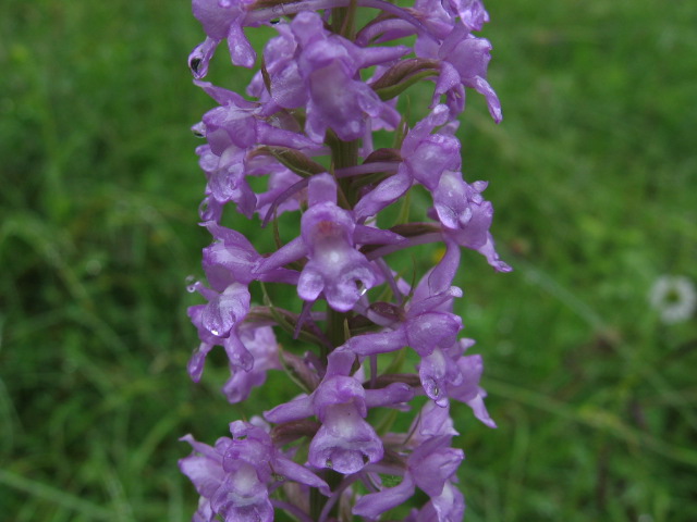
- Photo Date :May 31, 2008
- Location :Mont Florentin, near Berneuil-En-Bray (Oise), France.
N49Ḟ 20.484' E2Ḟ 03.296'
|
 |
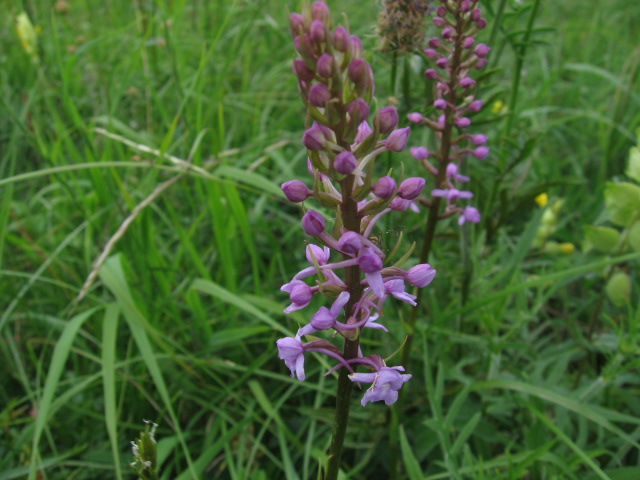
- Siting Date :May 31, 2008
|
- Location :Mont Cesar, near Froidmont (Oise), France.
N49Ḟ 23.183' E2Ḟ 14.456'
|
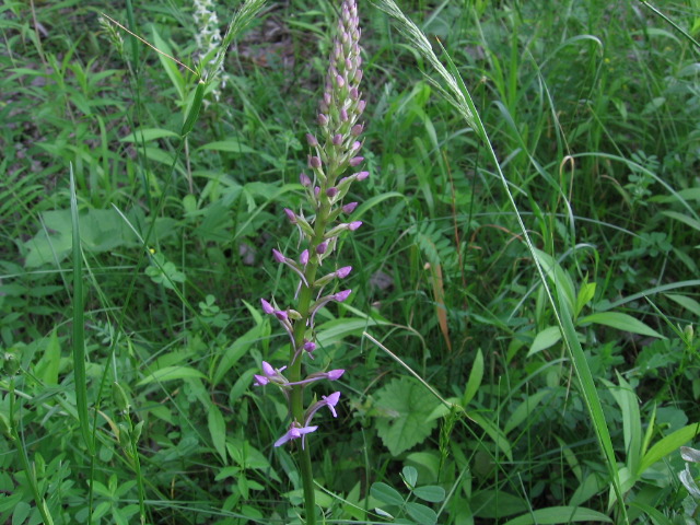
- Photo Date :June 4, 2005
- Location :Badberg NSG, Kaiserstuhl.
N48Ḟ 05.961' E7Ḟ 41.290'
|
 |
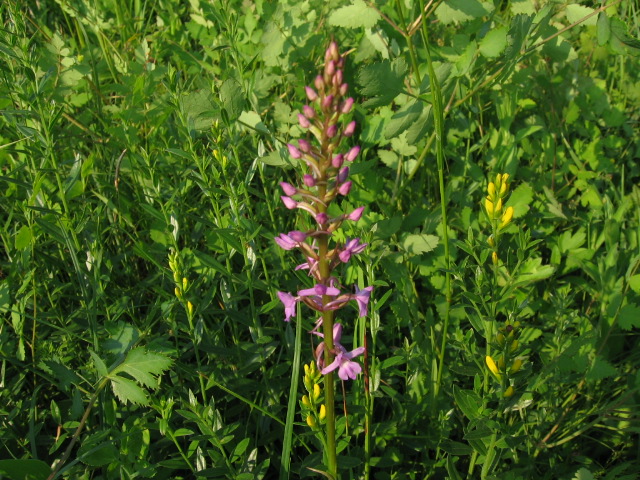
- Photo Date :June 4, 2005
- Location :Liliental, Kaiserstuhl.
N48Ḟ 04.587' E7Ḟ 40.762'
|
 |
- Siting Date :June 12, 2021
|
- Location :La réserve naturelle régionale du Site géologique de Limay (Yvelines), France
|
- Siting Date :June 12, 2021
|
- Location :Saint-Martin-la-Garenne (Yvelines), France
|
- Photo Date :June 14, 2006
- Location :Hirschau, near Tübingen.
N48Ḟ 30.327' E8Ḟ 59.774'
- Distance from Stuttgart : 31.1 km
|
 |
- Siting Date :June 14, 2006
|
- Location :Hirschau, near Tübingen.
N48Ḟ 30.288' E8Ḟ 59.759'
|
- Siting Date :June 14, 2006
|
- Location :Hirschau, near Tübingen.
N48Ḟ 30.278' E8Ḟ 59.753'
|
- Siting Date :June 14, 2006
|
- Location :Spitzberg Mountain, near Tübingen.
N48Ḟ 30.291' E9Ḟ 01.483'
|
- Siting Date :June 14, 2016
|
- Location :Parc National du Mercantour, Vallon de la Minière
|
- Photo Date :June 19, 2005
- Location :Near Gruibingen in the Schwabian Alb.
N48Ḟ 35.654' E9Ḟ 36.735'
|
 |
- Siting Date :June 23, 2021
|
- Location :Tourbière de Nanchez (Jura), France
|
- Siting Date :June 30, 2018
|
- Location :Station de la Sambuy (Haute Savoie), France
|
- Siting Date :July 2, 2005
|
- Location :Near Gruibingen in the Schwabian Alb.
N48Ḟ 35.659' E9Ḟ 36.674'
|
- Photo Date :July 2, 2005
- Location :Near Gruibingen in the Schwabian Alb.
N48Ḟ 35.631' E9Ḟ 36.946'
|
 |
- Siting Date :July 16, 2005
|
- Location :The slopes of Kanzelwand Peak, Warmatsgundtal (Oberstdorf).
N47Ḟ 19.893' E10Ḟ 12.568'
|
- Siting Date :July 16, 2005
|
- Location :Warmatsgundtal (Oberstdorf), Allgäu.
N47Ḟ 19.749' E10Ḟ 12.907'
|
- Siting Date :July 22, 2006
|
- Location :Near Zug, Lech Valley, Austria.
N47Ḟ 12.174' E10Ḟ 04.272'
|